Introduction
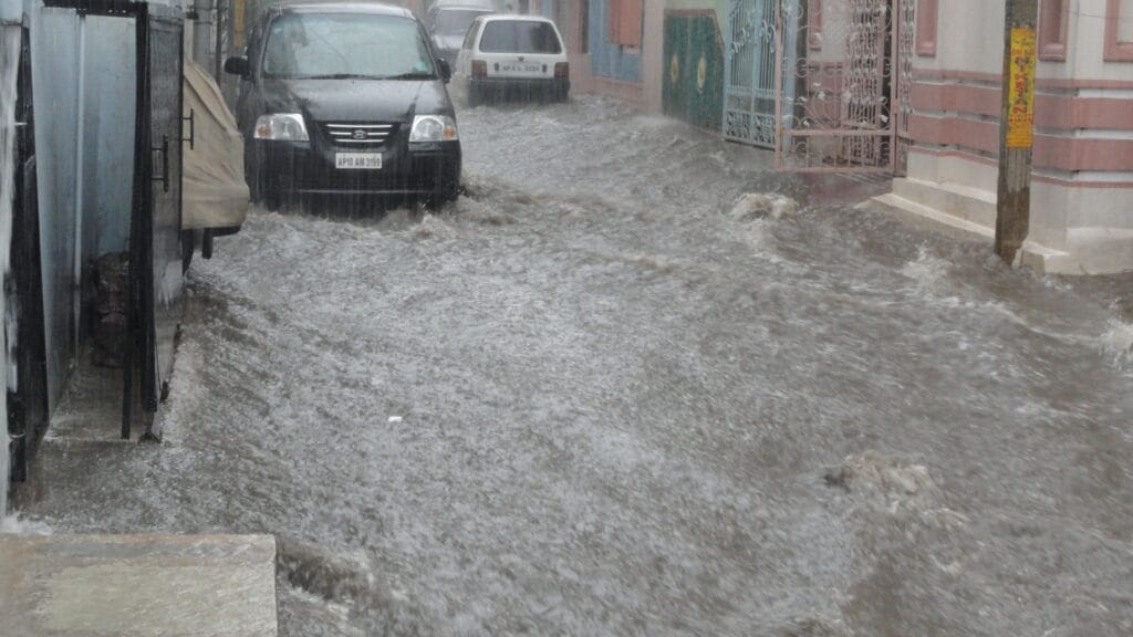
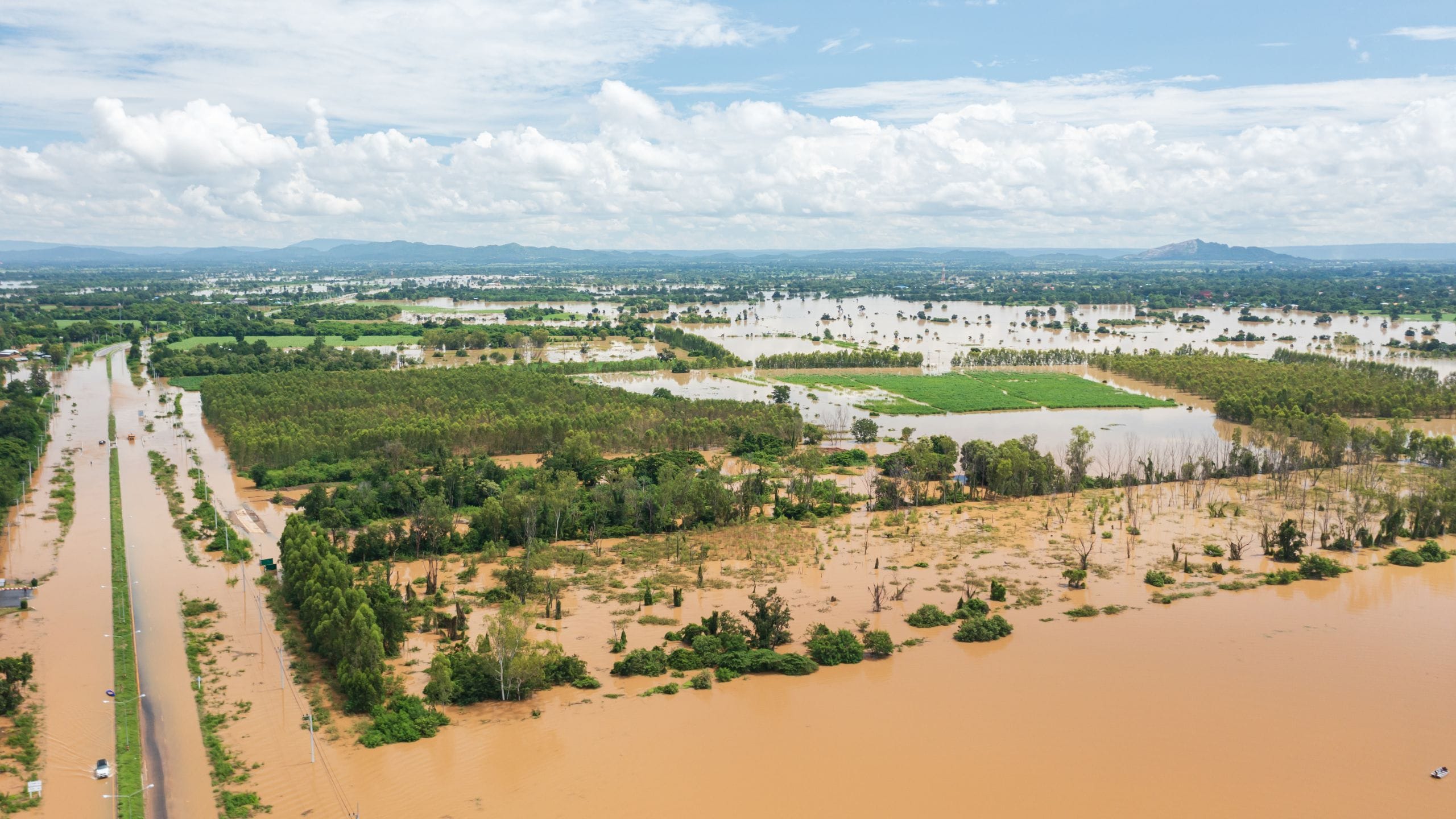
Flood Situation Near Ganges -One of the natural disasters in the environment is the floods. It damages the whole environment when the flood-prone area is damaged, and also causes natural disasters, shelters, food crises, etc. In India, the Ganga River covers the eleven states like Uttar Pradesh, Bihar, Jharkhand, West Bengal, Haryana, Rajasthan, Madhya Pradesh, Chhattisgarh, Himachal Pradesh, Uttarakhand, and also the capital city of India, Delhi. When the monsoon season starts, the rainy season arrives. Due to all these reasons, the floods in the Ganga River occur very easily. The country faced by the country in many past years also, but they overcome the flood situations through the correct ideological techniques. When floods occur, they not only damage the only states but also show the impact of floods on other states by spreading easily.
Floods
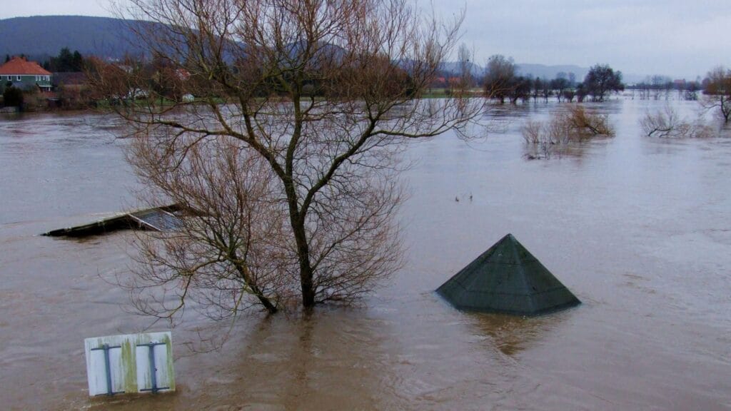
It is one of the naturally occurring processes in the environmental process. In flood management, they contain structural and non-structural measures taken by the management to overcome floods. It can cause severe downfall in economically and physical and mental damage to the people. The reservoirs help in flood situations to save places in flood-prone areas. We can imagine or guess some of the natural calamities in nature. The dams are used to mark the level of floods through their measurement values to determine the flood volume.
Ganga River basin
- The basin of the Ganga covers 11 states in India.
- In the Uttarakhand region, we can see the Himalayan headwater streams.
- There are six head streams like bhagirathi, Nandakini, pinder, Alakananda, dhaulingaa,mandakini.
- From the Gangotri glacier, the bhagirathiriver forms in the state. In Uttarakhand, the river Ganga is united by the head streams of Alaknanda and Bhagirathi, uniting.
- The Alakanda rises from the Sathopath, and it has an elevation to join the Ganga. By all these headstreams, the Ganga river joins and enters the Bay of Bengal
- It also has many tributaries like Ghaghara, Yamuna, Sone, Gandhak, Gomti, Yamuna, Tons, Damodar, Kosi, and it also joins with some type of small streams.
- The most important tributary of the Ganga River is the Yamuna, The Yamuna starts from Yamunotri.

Rainfall pattern in the Ganga
In the monsoon season, the rainfall starts in all seasons. The rainfall starts in the first week of June and it spreads to the Ganga River basin areas by spreading in the weeks. Mostly, the rainfall is in the months of July, August, and September. It starts in June, but mostly in these months. In these months, the rainfall is mostly at 70-80% of the annual period. The 80% rainfall falls in the months of June to October, and the remaining 20% rainfall may fall in March to May, and sometimes the rainfall in November and December also. Basically the rainfall starts from the east side and it spreads rapidly to all the sides of the earth.
Rainfall tracks in the Ganga
The rainfall mostly comes from the southwest side in the monsoon season, It also causes disturbances for the cyclones. In times the rainfall is in heavy rainfall, it is also very hard to know the flood volumes. Many cyclonic disturbances occur in the months of June to September. After all these disturbances move to the Bay of Bengal, due to the monsoon depressions, there is high pressure of rainfall and damage all over the environment. The Himalayan headstreams play an important role when causing the heavy rainfall over the part of the basin. The over rainfall damages the plains in states like Haryana, Punjab, and Uttar Pradesh.
Flood Peak patterns
At times, the floods in at peak level, and also difficult to measure the flood volumes.By the levels like tons, cubic and other measurement levels that the flood management analysis determines the flood peak levels. Some of the peak floods are the Kosi flood peak with the Ganga River, The Kosi flood peak is one of the most severe floods in all flood levels. It mainly damages the whole drainage system in Bihar. After that, the Gomti River is highest, which also damages many parts of nature. Allahabad and Patna are the main streams in the flood peak information, contributing different patterns of rivers.

Flood peak levels
The flood peaks are also main in Varanasi and Gandhigram, on the Yamuna River. The information it occurs in two days in Varanasi and 5 days in their Prastappur flood peak at high levels. The flood peak distance is mostly 190km and also 490 km in those distance levels, and the wave velocity of the flood is 5km/h. If we see that the flood peak in the Yamuna River, because it is one of the main tributaries of the Ganga River, it occurs mainly in Chambal, and it damages the drainage system mainly.
Flood Storage
- Based on the information of the flood management system, they estimate the study of the flood storage of the Ganga basin by the value findings also like. The Gandighat patnr is nearly 7,25,00 sq. km of the river Ganga.
- The storage of the Yamuna River system is tons, sone, ghagra. The total storage level is 2,70,000 sq kilometers of the drainage system
- Frakka, Patna Gandhigat, Hathidah, these are the main important places of Ganga, is almost completely affected by the flood events that have occurred with other flood events
- The maximum recorded peak level of flood storage is 71900 cumecs, and the volume of the flood is 50,000 cumecs in the year 1987, in the month of September
- In the year 1991, the maximum record is 72608 cumes and flood volume 50,000 in the month of September
- The maximum record in the peak level is 81839 cumecs, and flood volume above 55,000 cumecs in August 1994 of August month
- In the year 2003, the maximum record was also at the peak level of 78000 cumecs, and the flood volume was 55,000 above in the month of September
- The maximum flood storage peak level is in Patna at above 55,000 cumecs in the year 2016. The months of August and September.

Flood Safety Measures
- The management must put the Flash flood watches and warnings to stay safe
- Pay attention when the weather changes and the conditions near the floods. And also make the preparations before the attack of the floods
- Give flood warnings to the low-lying areas and also the nearest river areas. Also, replace them in the safety areas.
- Pay attention to the public safety information before and during, and after emergency situations .
- Must contact your local emergency directors or officers to obtain more information about the flooding
- Make the family emergency plans before, because it will help in this type of situations for better recovery
- Arrange the emergency first aid kit at any time, it will help you in any natural disaster situation
- Listen to the National Oceanic and Atmospheric Administration, and also the weather radios, and local news for the latest information
- Cancel the outdoor activities like trips, vacations, parks, etc., and follow the instructions of the public service agents.
- Unplug all the electronic devices like TVs, refrigerators, washing machines, computers, etc. And also, do not touch the electrical devices standing in the water
- Move to the higher places to safe places, given by the information of the officers.
Conclusion
Floods are the most dangerous and harmful event in disasters. The flood management system is responsible for the people and also pays more attention to the flood situations. The majority of the floods have occurred in the Patna in the past years. Because of the rivers of Yamuna, Sone, and Ganga river systems. The officers must put more effort into the flood-prone areas.

